Estate Walling to Ormerod House
Introduction
The photograph on this page of Estate Walling to Ormerod House by Kevin Waterhouse as part of the Geograph project.
The Geograph project started in 2005 with the aim of publishing, organising and preserving representative images for every square kilometre of Great Britain, Ireland and the Isle of Man.

There are currently over 7.5m images from over 14,400 individuals and you can help contribute to the project by visiting https://www.geograph.org.uk
Estate Walling to Ormerod House
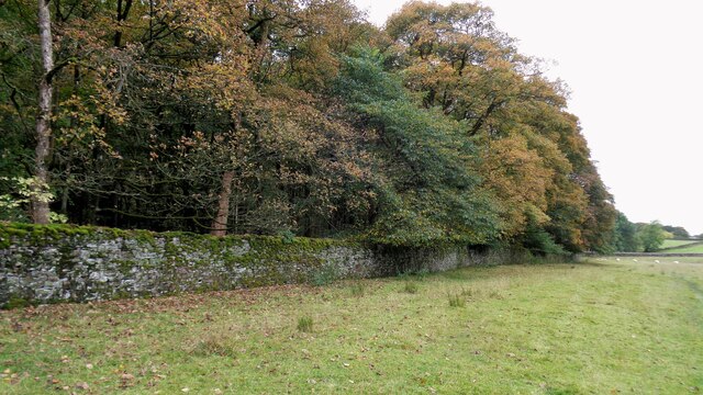
Image: © Kevin Waterhouse Taken: 16 Oct 2022
The substantial walling encloses the River Brun within the private estate, so this path along the valley has no view of the river.
Images are licensed for reuse under creativecommons.org/licenses/by-sa/2.0
Image Location
Latitude
53.780754
Longitude
-2.192086