Forth and Clyde Canal, Dalmuir
Introduction
The photograph on this page of Forth and Clyde Canal, Dalmuir by Stephen McKay as part of the Geograph project.
The Geograph project started in 2005 with the aim of publishing, organising and preserving representative images for every square kilometre of Great Britain, Ireland and the Isle of Man.

There are currently over 7.5m images from over 14,400 individuals and you can help contribute to the project by visiting https://www.geograph.org.uk
Forth and Clyde Canal, Dalmuir
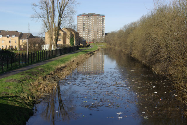
Image: © Stephen McKay Taken: 19 Mar 2008
The Forth and Clyde Canal was opened in 1790 to provide a link between the Forth at Grangemouth and the Clyde at Bowling. There is also a branch to Port Dundas in Glasgow. The canal was closed to commercial traffic in 1963 after a long decline and fell into a derelict state; it has now been restored although the debris in the water here suggests boats are few and far between.
Images are licensed for reuse under creativecommons.org/licenses/by-sa/2.0
Image Location
Latitude
55.90949
Longitude
-4.422688