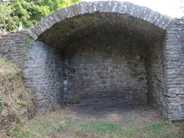
A thin arch
Introduction
The photograph on this page of A thin arch by Neil Owen as part of the Geograph project.
The Geograph project started in 2005 with the aim of publishing, organising and preserving representative images for every square kilometre of Great Britain, Ireland and the Isle of Man.
There are currently over 7.5m images from over 14,400 individuals and you can help contribute to the project by visiting https://www.geograph.org.uk

Image: © Neil Owen Taken: 18 Sep 2022
The Ram Hill colliery had a rail line to take the carts to the River Avon and back again. Originally the coal fields of north Bristol built a 4ft 8" rail line (the Dramway) to connect them to the river in 1828, and Ram Hill joined up in about 1832. Initially it was horse-powered, but steam power arrived nine years later. At the terminus of the tracks a single arch was built, made with barely a single layer at the top. Surely it would not have withstood much weight, certainly not lots of coal, so why it was built is a mystery. See Image] for a contextual view.

