A hint of a shaft
Introduction
The photograph on this page of A hint of a shaft by Neil Owen as part of the Geograph project.
The Geograph project started in 2005 with the aim of publishing, organising and preserving representative images for every square kilometre of Great Britain, Ireland and the Isle of Man.

There are currently over 7.5m images from over 14,400 individuals and you can help contribute to the project by visiting https://www.geograph.org.uk
A hint of a shaft
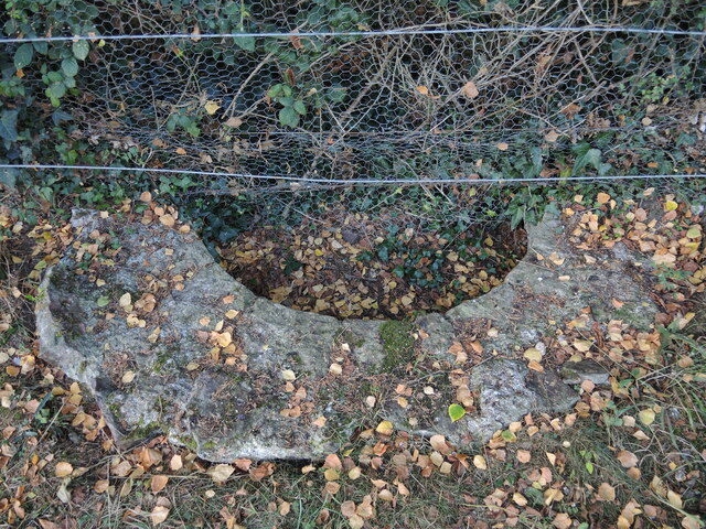
Image: © Neil Owen Taken: 18 Sep 2022
Ram Hill Colliery used to be an active mine until 1867. There were three levels of coal under the land, with the deepest being a 170m (558ft) drop to the High Seam, reached by this shaft. The rest of the shaft is under private land adjoining the remains of the colliery buildings.
Images are licensed for reuse under creativecommons.org/licenses/by-sa/2.0
Image Location
Latitude
51.52025
Longitude
-2.463748