Stone Stile SW7960d
Introduction
The photograph on this page of Stone Stile SW7960d by M Thompson as part of the Geograph project.
The Geograph project started in 2005 with the aim of publishing, organising and preserving representative images for every square kilometre of Great Britain, Ireland and the Isle of Man.

There are currently over 7.5m images from over 14,400 individuals and you can help contribute to the project by visiting https://www.geograph.org.uk
Stone Stile SW7960d
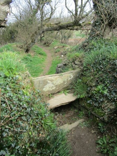
Image: © M Thompson Taken: 27 Mar 2021
From open field into old green lane. Slate slab steps with vertical top slab. Public Footpath 402/11/1 (silver) from Crantock village to Little Trevithick.
Images are licensed for reuse under creativecommons.org/licenses/by-sa/2.0
Image Location
Latitude
50.402027
Longitude
-5.100888