Brindley
Introduction
The photograph on this page of Brindley by Richard Webb as part of the Geograph project.
The Geograph project started in 2005 with the aim of publishing, organising and preserving representative images for every square kilometre of Great Britain, Ireland and the Isle of Man.

There are currently over 7.5m images from over 14,400 individuals and you can help contribute to the project by visiting https://www.geograph.org.uk
Brindley
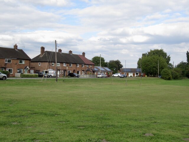
Image: © Richard Webb Taken: 30 Aug 2022
The foreground is marked as what is sometimes laughingly known as Access Land in England. This is often an indication of a common. It is quite an asset to a small community with playing fields and lots of builder proof space.
Images are licensed for reuse under creativecommons.org/licenses/by-sa/2.0
Image Location
Latitude
53.075993
Longitude
-2.609864