Grove Road, Chatham and view beyond.
Introduction
The photograph on this page of Grove Road, Chatham and view beyond. by Danny P Robinson as part of the Geograph project.
The Geograph project started in 2005 with the aim of publishing, organising and preserving representative images for every square kilometre of Great Britain, Ireland and the Isle of Man.

There are currently over 7.5m images from over 14,400 individuals and you can help contribute to the project by visiting https://www.geograph.org.uk
Grove Road, Chatham and view beyond.
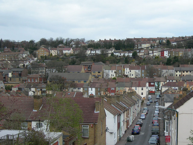
Image: © Danny P Robinson Taken: 19 Mar 2008
Looking along Grove Road, near the junction with Chamberlain Road. Luton Road runs left / right through the centre of the picture. The houses on the horizon, sloping up to the right are on Chatham Hill and Imperial Road. The houses just below the horizon, sloping up to the left, are on Upper Luton Road.
Images are licensed for reuse under creativecommons.org/licenses/by-sa/2.0
Image Location
Latitude
51.37273
Longitude
0.538735