Rookery Gardens, St Mary Cray
Introduction
The photograph on this page of Rookery Gardens, St Mary Cray by Ian Capper as part of the Geograph project.
The Geograph project started in 2005 with the aim of publishing, organising and preserving representative images for every square kilometre of Great Britain, Ireland and the Isle of Man.

There are currently over 7.5m images from over 14,400 individuals and you can help contribute to the project by visiting https://www.geograph.org.uk
Rookery Gardens, St Mary Cray
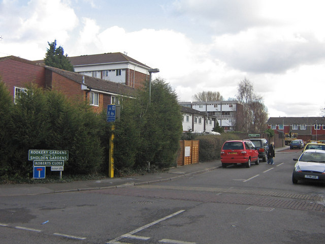
Image: © Ian Capper Taken: 27 Feb 2008
This was one of the original batch of "home zones" granted in 2002. See http://www.homezones.org.uk/challenge/rookery_gardens.htm for the work done here.
Images are licensed for reuse under creativecommons.org/licenses/by-sa/2.0
Image Location
Latitude
51.388881
Longitude
0.114077