Darland Banks, Gillingham
Introduction
The photograph on this page of Darland Banks, Gillingham by Danny P Robinson as part of the Geograph project.
The Geograph project started in 2005 with the aim of publishing, organising and preserving representative images for every square kilometre of Great Britain, Ireland and the Isle of Man.

There are currently over 7.5m images from over 14,400 individuals and you can help contribute to the project by visiting https://www.geograph.org.uk
Darland Banks, Gillingham
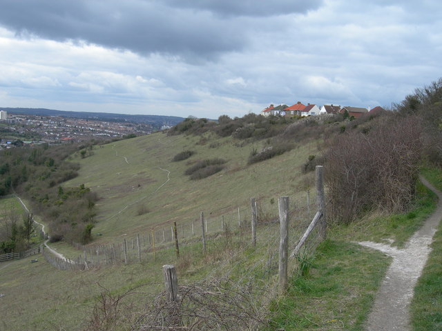
Image: © Danny P Robinson Taken: 19 Mar 2008
It's unclear where Chatham starts and Gillingham ends -- Chatham postcodes apply in the lower part and Gillingham in the upper part. The soil is very chalky here.
Images are licensed for reuse under creativecommons.org/licenses/by-sa/2.0
Image Location
Latitude
51.367864
Longitude
0.555707