Stubble field near Calverton
Introduction
The photograph on this page of Stubble field near Calverton by Bill Boaden as part of the Geograph project.
The Geograph project started in 2005 with the aim of publishing, organising and preserving representative images for every square kilometre of Great Britain, Ireland and the Isle of Man.

There are currently over 7.5m images from over 14,400 individuals and you can help contribute to the project by visiting https://www.geograph.org.uk
Stubble field near Calverton
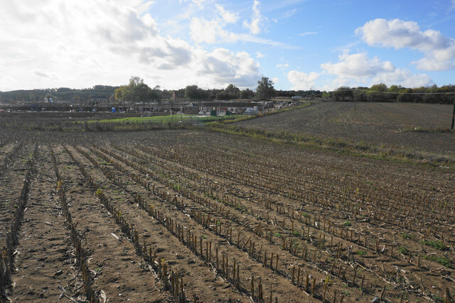
Image: © Bill Boaden Taken: 15 Oct 2022
A former crop of sweetcorn. Beyond the field is the north west expansion of housing in Calverton.
Images are licensed for reuse under creativecommons.org/licenses/by-sa/2.0
Image Location
Latitude
53.045359
Longitude
-1.095889