Warndon Hub, Worcester
Introduction
The photograph on this page of Warndon Hub, Worcester by Chris Allen as part of the Geograph project.
The Geograph project started in 2005 with the aim of publishing, organising and preserving representative images for every square kilometre of Great Britain, Ireland and the Isle of Man.

There are currently over 7.5m images from over 14,400 individuals and you can help contribute to the project by visiting https://www.geograph.org.uk
Warndon Hub, Worcester
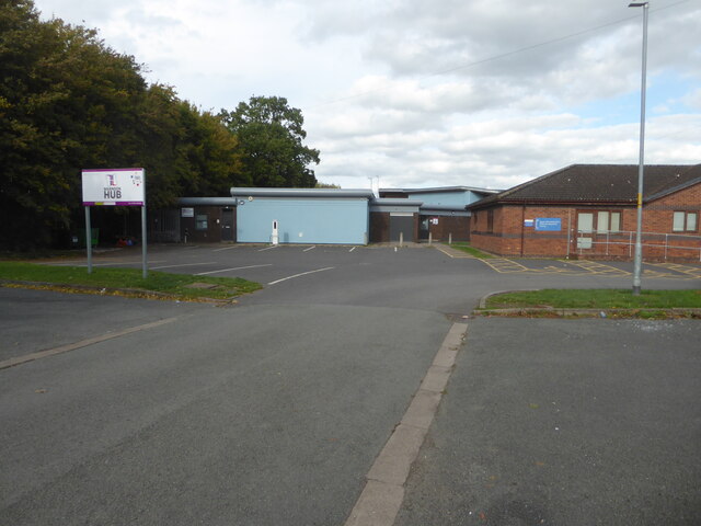
Image: © Chris Allen Taken: 9 Oct 2022
Community centre on this large housing estate. The building to the right is the South Worcestershire Child Development Centre.
Images are licensed for reuse under creativecommons.org/licenses/by-sa/2.0
Image Location
Latitude
52.209278
Longitude
-2.18391