Fairways and boundary markers on Lundin Golf Course
Introduction
The photograph on this page of Fairways and boundary markers on Lundin Golf Course by Richard Law as part of the Geograph project.
The Geograph project started in 2005 with the aim of publishing, organising and preserving representative images for every square kilometre of Great Britain, Ireland and the Isle of Man.

There are currently over 7.5m images from over 14,400 individuals and you can help contribute to the project by visiting https://www.geograph.org.uk
Fairways and boundary markers on Lundin Golf Course
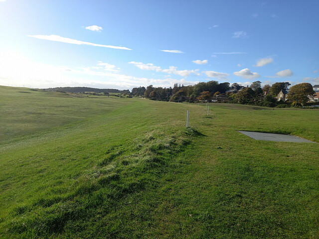
Image: © Richard Law Taken: 13 Oct 2022
A view of the eastern end of the popular course at Lundin Links, created on former dunes.
Images are licensed for reuse under creativecommons.org/licenses/by-sa/2.0
Image Location
Latitude
56.211017
Longitude
-2.956959