A route with public access at Waungaled, near Margam
Introduction
The photograph on this page of A route with public access at Waungaled, near Margam by eswales as part of the Geograph project.
The Geograph project started in 2005 with the aim of publishing, organising and preserving representative images for every square kilometre of Great Britain, Ireland and the Isle of Man.

There are currently over 7.5m images from over 14,400 individuals and you can help contribute to the project by visiting https://www.geograph.org.uk
A route with public access at Waungaled, near Margam
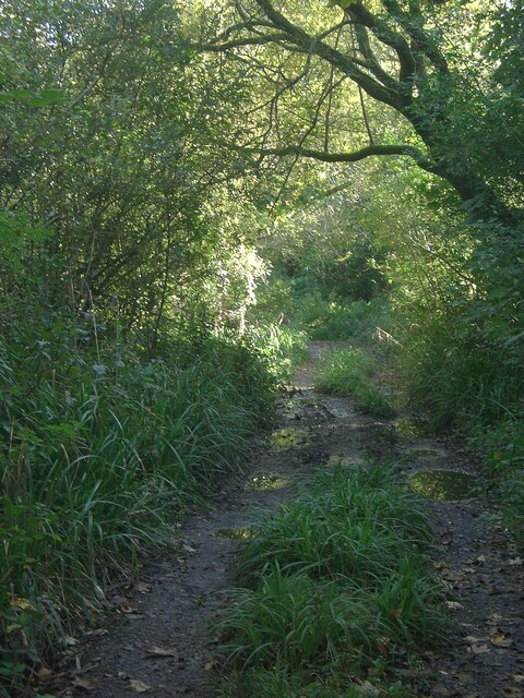
Image: © eswales Taken: 10 Oct 2022
The northernmost part of a path marked as a route with public access on Ordnance Survey maps. The route is possibly a disused section of a lane which ran southwards to meet the A48, which is where Ordnance Survey maps indicate the route ends. It should be noted that Google Street View images suggest that, if it once was, the route may no longer be accessible from the A road, even for those on foot.
Images are licensed for reuse under creativecommons.org/licenses/by-sa/2.0
Image Location
Latitude
51.550246
Longitude
-3.709884