River Wear above Daddry Shield
Introduction
The photograph on this page of River Wear above Daddry Shield by Gordon Hatton as part of the Geograph project.
The Geograph project started in 2005 with the aim of publishing, organising and preserving representative images for every square kilometre of Great Britain, Ireland and the Isle of Man.

There are currently over 7.5m images from over 14,400 individuals and you can help contribute to the project by visiting https://www.geograph.org.uk
River Wear above Daddry Shield
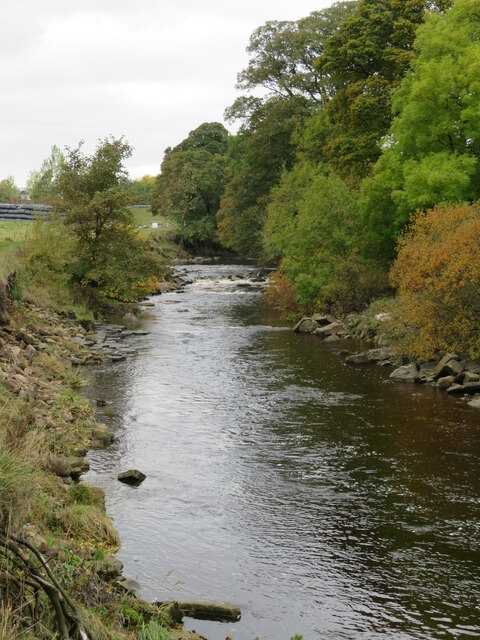
Image: © Gordon Hatton Taken: 18 Oct 2022
Fast flowing upland river at this point with the Weardale way path following the riverbank to the left.
Images are licensed for reuse under creativecommons.org/licenses/by-sa/2.0
Image Location
Latitude
54.737578
Longitude
-2.166616