St Martin's Lane
Introduction
The photograph on this page of St Martin's Lane by Gordon Hatton as part of the Geograph project.
The Geograph project started in 2005 with the aim of publishing, organising and preserving representative images for every square kilometre of Great Britain, Ireland and the Isle of Man.

There are currently over 7.5m images from over 14,400 individuals and you can help contribute to the project by visiting https://www.geograph.org.uk
St Martin's Lane
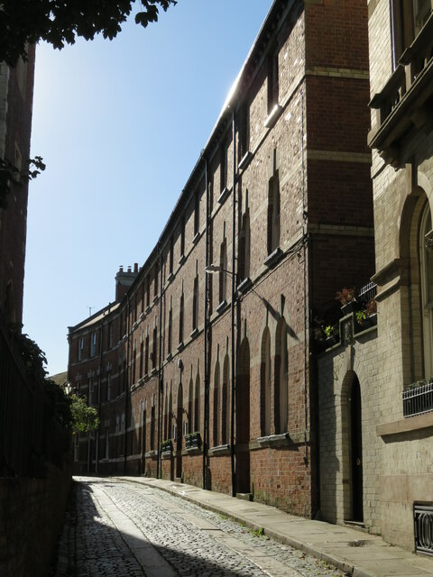
Image: © Gordon Hatton Taken: 16 Oct 2022
Narrow cobbled street off Micklegate with what appear to be 19thC commercial buildings lining one side. On the left is the boundary wall of St Martin's Church which is now the York Stained Glass Centre.
Images are licensed for reuse under creativecommons.org/licenses/by-sa/2.0
Image Location
Latitude
53.956932
Longitude
-1.087413