Horsforth, 121 Stanhope Drive
Introduction
The photograph on this page of Horsforth, 121 Stanhope Drive by Mel Towler as part of the Geograph project.
The Geograph project started in 2005 with the aim of publishing, organising and preserving representative images for every square kilometre of Great Britain, Ireland and the Isle of Man.

There are currently over 7.5m images from over 14,400 individuals and you can help contribute to the project by visiting https://www.geograph.org.uk
Horsforth, 121 Stanhope Drive
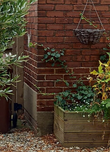
Image: © Mel Towler Taken: 3 Sep 2022
There is a benchmark cut into the wall to the left of the angle, on the first brick above the render. Only the datum line is still visible because of the patch of rendering below which has covered the arrowhead.
Images are licensed for reuse under creativecommons.org/licenses/by-sa/2.0
Image Location


Leaflet Map data © OpenStreetMap
Latitude
53.834737
Longitude
-1.6368