The eastern edge of Brinkley Wood
Introduction
The photograph on this page of The eastern edge of Brinkley Wood by John Sutton as part of the Geograph project.
The Geograph project started in 2005 with the aim of publishing, organising and preserving representative images for every square kilometre of Great Britain, Ireland and the Isle of Man.

There are currently over 7.5m images from over 14,400 individuals and you can help contribute to the project by visiting https://www.geograph.org.uk
The eastern edge of Brinkley Wood
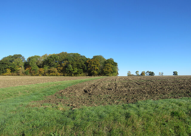
Image: © John Sutton Taken: 18 Oct 2022
At over 350ft, the hills of East Cambridgeshire are a lot higher than much of the rest of the county. Big fields and large plantations typify the area.
Images are licensed for reuse under creativecommons.org/licenses/by-sa/2.0
Image Location
Latitude
52.172356
Longitude
0.363324