Corner of Bishophill Junior and Smales Street
Introduction
The photograph on this page of Corner of Bishophill Junior and Smales Street by Gordon Hatton as part of the Geograph project.
The Geograph project started in 2005 with the aim of publishing, organising and preserving representative images for every square kilometre of Great Britain, Ireland and the Isle of Man.

There are currently over 7.5m images from over 14,400 individuals and you can help contribute to the project by visiting https://www.geograph.org.uk
Corner of Bishophill Junior and Smales Street
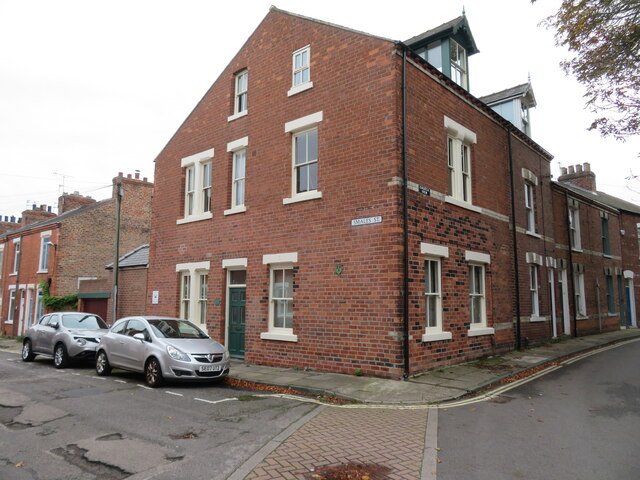
Image: © Gordon Hatton Taken: 16 Oct 2022
Much of this area on the right bank of the Ouse and within the city wall consists of Victorian workers houses. One wonders what was here before, although there are a few ancient buildings scattered through the area. These are shown on the first edition OS map of circa 1850, but there are also large areas which appear to be gardens and the grounds of Trinity Priory.
Images are licensed for reuse under creativecommons.org/licenses/by-sa/2.0
Image Location
Latitude
53.955759
Longitude
-1.086829