Dullingham: houses on the corner
Introduction
The photograph on this page of Dullingham: houses on the corner by John Sutton as part of the Geograph project.
The Geograph project started in 2005 with the aim of publishing, organising and preserving representative images for every square kilometre of Great Britain, Ireland and the Isle of Man.

There are currently over 7.5m images from over 14,400 individuals and you can help contribute to the project by visiting https://www.geograph.org.uk
Dullingham: houses on the corner
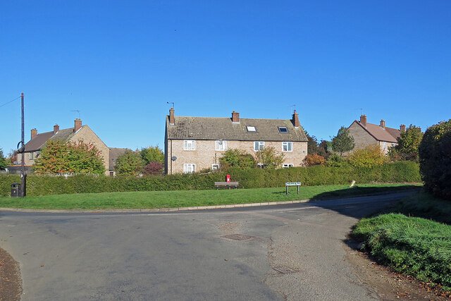
Image: © John Sutton Taken: 18 Oct 2022
Council-built houses on the sharp corner where the dead-end lane from Dullingham Ley meets Stetchworth Road on the edge of Dullingham.
Images are licensed for reuse under creativecommons.org/licenses/by-sa/2.0
Image Location
Latitude
52.194229
Longitude
0.393457