Approaching Easton Cross Roads
Introduction
The photograph on this page of Approaching Easton Cross Roads by David Martin as part of the Geograph project.
The Geograph project started in 2005 with the aim of publishing, organising and preserving representative images for every square kilometre of Great Britain, Ireland and the Isle of Man.

There are currently over 7.5m images from over 14,400 individuals and you can help contribute to the project by visiting https://www.geograph.org.uk
Approaching Easton Cross Roads
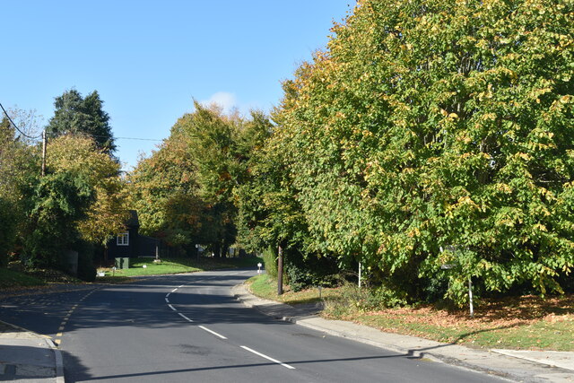
Image: © David Martin Taken: 16 Oct 2022
The village of Easton Royal is mostly to the south of the B3087, seen here.
Images are licensed for reuse under creativecommons.org/licenses/by-sa/2.0
Image Location
Latitude
51.348782
Longitude
-1.702438