Country Lane
Introduction
The photograph on this page of Country Lane by John P Reeves as part of the Geograph project.
The Geograph project started in 2005 with the aim of publishing, organising and preserving representative images for every square kilometre of Great Britain, Ireland and the Isle of Man.

There are currently over 7.5m images from over 14,400 individuals and you can help contribute to the project by visiting https://www.geograph.org.uk
Country Lane
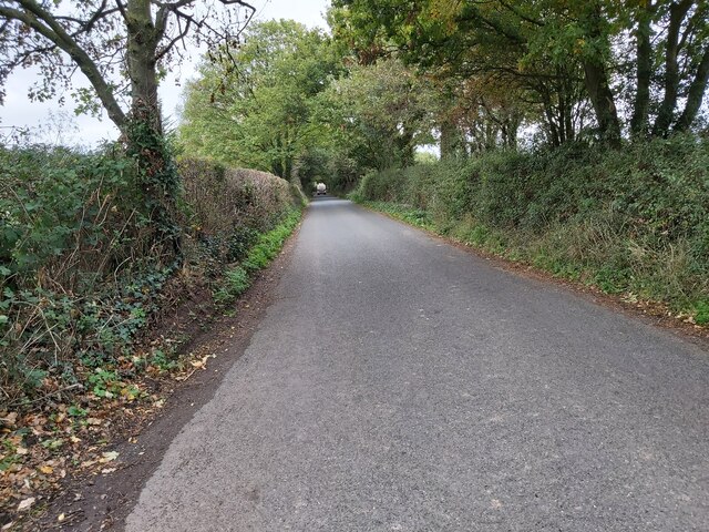
Image: © John P Reeves Taken: 18 Oct 2022
A straight country lane in-between Greendale Cross and Walnut Cottages located between the villages of Woodbury Salterton and Clyst St Mary's in Devon.
Images are licensed for reuse under creativecommons.org/licenses/by-sa/2.0
Image Location
Latitude
50.697512
Longitude
-3.424362