Cromarty from the shore below the South Sutor path
Introduction
The photograph on this page of Cromarty from the shore below the South Sutor path by Julian Paren as part of the Geograph project.
The Geograph project started in 2005 with the aim of publishing, organising and preserving representative images for every square kilometre of Great Britain, Ireland and the Isle of Man.

There are currently over 7.5m images from over 14,400 individuals and you can help contribute to the project by visiting https://www.geograph.org.uk
Cromarty from the shore below the South Sutor path
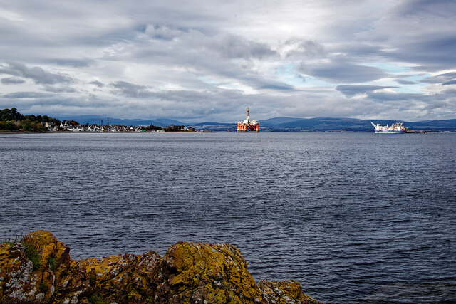
Image: © Julian Paren Taken: 11 Oct 2022
A small diversion path off the 100 Steps Path leads to a rock outcrop above the shore. There is a good view along the Cromarty Firth.
Images are licensed for reuse under creativecommons.org/licenses/by-sa/2.0
Image Location


Leaflet Map data © OpenStreetMap
Latitude
57.682167
Longitude
-4.032406