The "old" A249, from Chiltern Hundreds
Introduction
The photograph on this page of The "old" A249, from Chiltern Hundreds by Richard Dorrell as part of the Geograph project.
The Geograph project started in 2005 with the aim of publishing, organising and preserving representative images for every square kilometre of Great Britain, Ireland and the Isle of Man.

There are currently over 7.5m images from over 14,400 individuals and you can help contribute to the project by visiting https://www.geograph.org.uk
The "old" A249, from Chiltern Hundreds
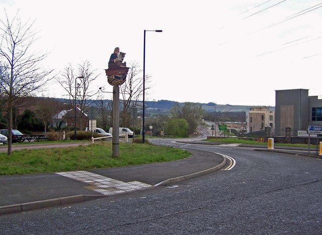
Image: © Richard Dorrell Taken: 19 Mar 2008
Before the M20 was built (about 15 years ago) the road leading out of this picture was the dual carriageway A249 Sittingbourne Road. The line of the old road is clear on modern maps. Now, the Chiltern Hundreds pub (with its Chef and Brewer sign in the picture) has a new entrance to its car park, (on the left) and an office development called Eclipse Park is still under construction (on the right).
Images are licensed for reuse under creativecommons.org/licenses/by-sa/2.0
Image Location
Latitude
51.285756
Longitude
0.543113