Road from Newton down to Newton Bar (A52)
Introduction
The photograph on this page of Road from Newton down to Newton Bar (A52) by Tim Heaton as part of the Geograph project.
The Geograph project started in 2005 with the aim of publishing, organising and preserving representative images for every square kilometre of Great Britain, Ireland and the Isle of Man.

There are currently over 7.5m images from over 14,400 individuals and you can help contribute to the project by visiting https://www.geograph.org.uk
Road from Newton down to Newton Bar (A52)
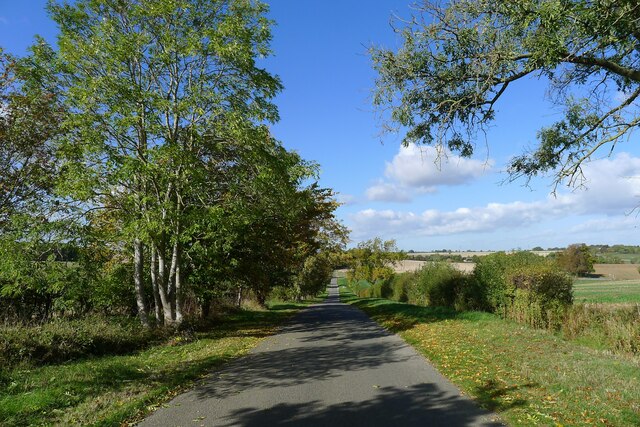
Image: © Tim Heaton Taken: 10 Oct 2022
Running down to one of the shallow valleys formed by tributaries to the South Forty Drain Catchment
Images are licensed for reuse under creativecommons.org/licenses/by-sa/2.0
Image Location
Latitude
52.92095
Longitude
-0.451752