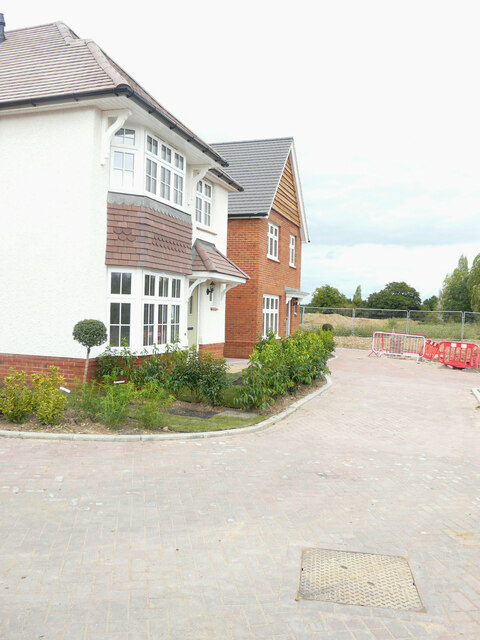
Black Horse Lane
Introduction
The photograph on this page of Black Horse Lane by John Baker as part of the Geograph project.
The Geograph project started in 2005 with the aim of publishing, organising and preserving representative images for every square kilometre of Great Britain, Ireland and the Isle of Man.
There are currently over 7.5m images from over 14,400 individuals and you can help contribute to the project by visiting https://www.geograph.org.uk

Image: © John Baker Taken: 18 Sep 2022
Part of a housing estate called The Hoplands for which planning permission has been granted by Canterbury City Council under application number CA//16/00404. An “outline planning application for a neighbourhood extension for the creation of up to 250 houses including affordable housing, neighbourhood centre (comprising Class A1 food store (400sq.m), Class D1 medical centre (380sq.m), Class D1 dentist (150sq.m), Class A1 pharmacy (150sq.m), Class D1 nursery (120sq.m) and Class A1 convenience retail (360sq.m)), commercial estate (comprising Class B1 business floorspace (up to 5572sq.m), Class D1 apprenticeship centre (616sq.m) and Class D1/D2 community building (up to 672sq.m)), parish parkland and associated access, parking, amenity space and landscaping”. The road is one of the furthest parts of this length of Image

