Northern slope of the Inny valley
Introduction
The photograph on this page of Northern slope of the Inny valley by Derek Harper as part of the Geograph project.
The Geograph project started in 2005 with the aim of publishing, organising and preserving representative images for every square kilometre of Great Britain, Ireland and the Isle of Man.

There are currently over 7.5m images from over 14,400 individuals and you can help contribute to the project by visiting https://www.geograph.org.uk
Northern slope of the Inny valley
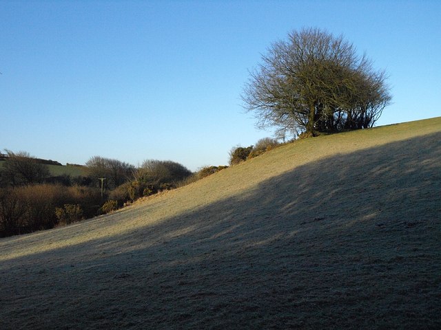
Image: © Derek Harper Taken: 18 Mar 2008
Looking almost end-on to a line of trees along the break of slope which form a truncated field boundary. The field in the foreground is still frosty. The river runs (towards the camera) a few yards to the left. Difficult to tell which of four squares the camera is in.
Images are licensed for reuse under creativecommons.org/licenses/by-sa/2.0
Image Location


Leaflet Map data © OpenStreetMap
Latitude
50.644988
Longitude
-4.576568