Uphill from Temple End
Introduction
The photograph on this page of Uphill from Temple End by John Sutton as part of the Geograph project.
The Geograph project started in 2005 with the aim of publishing, organising and preserving representative images for every square kilometre of Great Britain, Ireland and the Isle of Man.

There are currently over 7.5m images from over 14,400 individuals and you can help contribute to the project by visiting https://www.geograph.org.uk
Uphill from Temple End
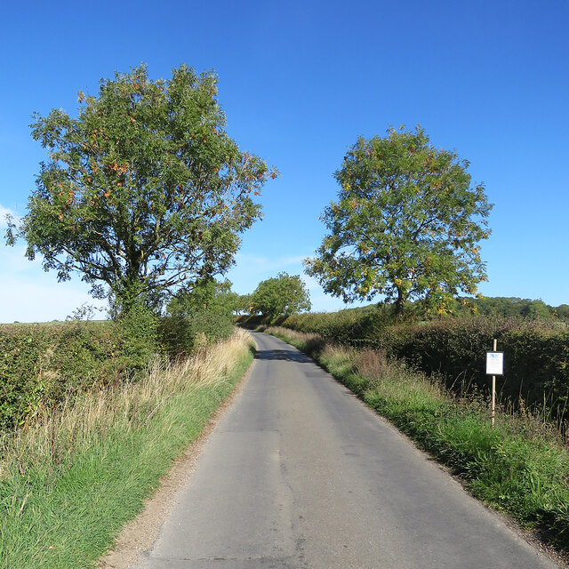
Image: © John Sutton Taken: 11 Oct 2022
The road from Little Thurlow to Carlton Green and Weston Colville, over the county boundary in Cambridgeshire. The Suffolk County Council notice explains that these are wildlife verges, cut only in winter to encourage wild flowers and biodiversity.
Images are licensed for reuse under creativecommons.org/licenses/by-sa/2.0
Image Location
Latitude
52.129657
Longitude
0.424623