Carlton: former school and school house
Introduction
The photograph on this page of Carlton: former school and school house by John Sutton as part of the Geograph project.
The Geograph project started in 2005 with the aim of publishing, organising and preserving representative images for every square kilometre of Great Britain, Ireland and the Isle of Man.

There are currently over 7.5m images from over 14,400 individuals and you can help contribute to the project by visiting https://www.geograph.org.uk
Carlton: former school and school house
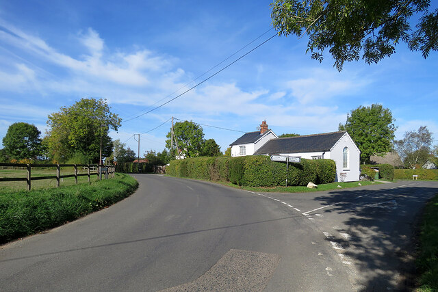
Image: © John Sutton Taken: 11 Oct 2022
This is where Church Road, Brinkley Road (left) and Acre Road (right) meet. The picture was taken on a sunny October morning when only some trees' leaves had changed colour.
Images are licensed for reuse under creativecommons.org/licenses/by-sa/2.0
Image Location
Latitude
52.154411
Longitude
0.401408