Gallions Reach Urban Village
Introduction
The photograph on this page of Gallions Reach Urban Village by Malc McDonald as part of the Geograph project.
The Geograph project started in 2005 with the aim of publishing, organising and preserving representative images for every square kilometre of Great Britain, Ireland and the Isle of Man.

There are currently over 7.5m images from over 14,400 individuals and you can help contribute to the project by visiting https://www.geograph.org.uk
Gallions Reach Urban Village
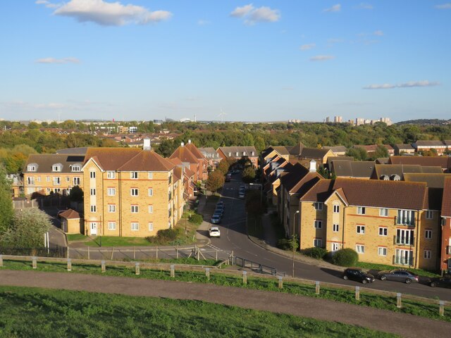
Image: © Malc McDonald Taken: 8 Oct 2022
A view of Gallions Reach Urban Village, developed in the early 200s, taken from the top of Gallions Hill in Thamesmead. This image was taken in the late afternoon on an October day, as shadows were lengthening.
Images are licensed for reuse under creativecommons.org/licenses/by-sa/2.0
Image Location
Latitude
51.501962
Longitude
0.092737