Egremont Castle Gate House
Introduction
The photograph on this page of Egremont Castle Gate House by Brian Deegan as part of the Geograph project.
The Geograph project started in 2005 with the aim of publishing, organising and preserving representative images for every square kilometre of Great Britain, Ireland and the Isle of Man.

There are currently over 7.5m images from over 14,400 individuals and you can help contribute to the project by visiting https://www.geograph.org.uk
Egremont Castle Gate House
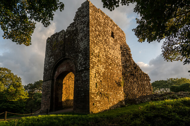
Image: © Brian Deegan Taken: 21 Sep 2022
The original castle was built on a mound above the River Ehen on the site of a Danish fort following the conquest of Cumberland in 1092 by William II of England. The present castle was built by William Meschin, who founded the castle between 1120 and 1135. Further additions were made in the 13th century. It eventually fell into disuse and became the ruin it is today. https://en.wikipedia.org/wiki/Egremont_Castle
Images are licensed for reuse under creativecommons.org/licenses/by-sa/2.0
Image Location
Latitude
54.479704
Longitude
-3.529915