Demolition of St Johns Church Hall
Introduction
The photograph on this page of Demolition of St Johns Church Hall by Andy Potter as part of the Geograph project.
The Geograph project started in 2005 with the aim of publishing, organising and preserving representative images for every square kilometre of Great Britain, Ireland and the Isle of Man.

There are currently over 7.5m images from over 14,400 individuals and you can help contribute to the project by visiting https://www.geograph.org.uk
Demolition of St Johns Church Hall
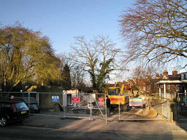
Image: © Andy Potter Taken: 13 Feb 2008
Final stages of demolition of Image prior to the building of the new church hall.
Images are licensed for reuse under creativecommons.org/licenses/by-sa/2.0
Image Location
Latitude
51.071079
Longitude
-0.361538