Catmere End: council-built houses
Introduction
The photograph on this page of Catmere End: council-built houses by John Sutton as part of the Geograph project.
The Geograph project started in 2005 with the aim of publishing, organising and preserving representative images for every square kilometre of Great Britain, Ireland and the Isle of Man.

There are currently over 7.5m images from over 14,400 individuals and you can help contribute to the project by visiting https://www.geograph.org.uk
Catmere End: council-built houses
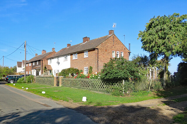
Image: © John Sutton Taken: 6 Oct 2022
A small village in North Essex, photographed on a sunny morning in early October.
Images are licensed for reuse under creativecommons.org/licenses/by-sa/2.0
Image Location
Latitude
52.033489
Longitude
0.173162