Route of a former tramway
Introduction
The photograph on this page of Route of a former tramway by Philip Halling as part of the Geograph project.
The Geograph project started in 2005 with the aim of publishing, organising and preserving representative images for every square kilometre of Great Britain, Ireland and the Isle of Man.

There are currently over 7.5m images from over 14,400 individuals and you can help contribute to the project by visiting https://www.geograph.org.uk
Route of a former tramway
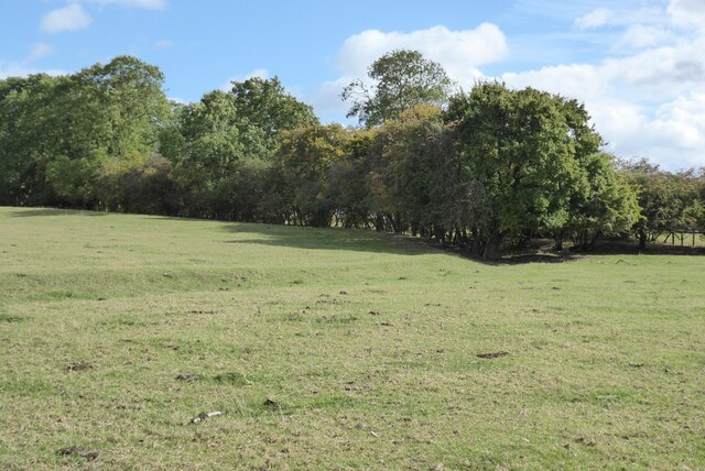
Image: © Philip Halling Taken: 1 Oct 2022
This tramway in a field at Wilmcote was marked on a map dated 1823, it carried blue lias stone from a quarry to the Stratford-upon-Avon Canal.
Images are licensed for reuse under creativecommons.org/licenses/by-sa/2.0
Image Location
Latitude
52.225187
Longitude
-1.762939