Houses on Ladymead
Introduction
The photograph on this page of Houses on Ladymead by Nigel Mykura as part of the Geograph project.
The Geograph project started in 2005 with the aim of publishing, organising and preserving representative images for every square kilometre of Great Britain, Ireland and the Isle of Man.

There are currently over 7.5m images from over 14,400 individuals and you can help contribute to the project by visiting https://www.geograph.org.uk
Houses on Ladymead
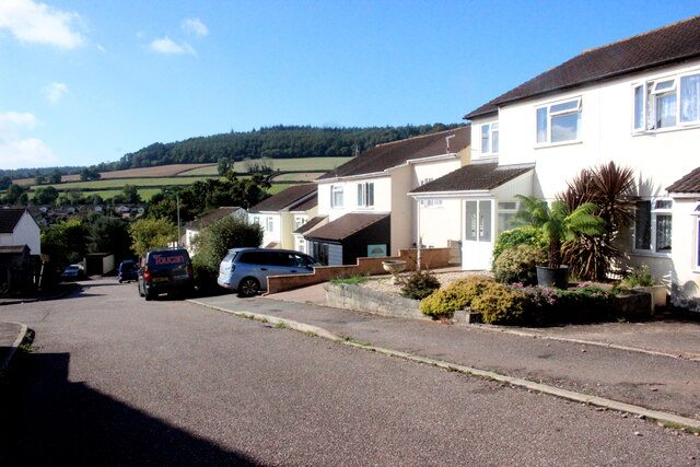
Image: © Nigel Mykura Taken: 23 Sep 2022
Ladymead is on the housing estate on the very northwestern edge of Sidmouth close to the A3052.
Images are licensed for reuse under creativecommons.org/licenses/by-sa/2.0
Image Location
Latitude
50.699681
Longitude
-3.251106