Harvested field near Oxton
Introduction
The photograph on this page of Harvested field near Oxton by Bill Boaden as part of the Geograph project.
The Geograph project started in 2005 with the aim of publishing, organising and preserving representative images for every square kilometre of Great Britain, Ireland and the Isle of Man.

There are currently over 7.5m images from over 14,400 individuals and you can help contribute to the project by visiting https://www.geograph.org.uk
Harvested field near Oxton
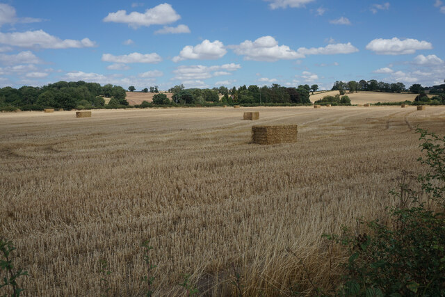
Image: © Bill Boaden Taken: 3 Aug 2022
Windmill Hill is the gentle slope in the background. Straw bales are awaiting collection.
Images are licensed for reuse under creativecommons.org/licenses/by-sa/2.0
Image Location
Latitude
53.060791
Longitude
-1.068706