Chesham Bois: Bricky Pond
Introduction
The photograph on this page of Chesham Bois: Bricky Pond by Nigel Cox as part of the Geograph project.
The Geograph project started in 2005 with the aim of publishing, organising and preserving representative images for every square kilometre of Great Britain, Ireland and the Isle of Man.

There are currently over 7.5m images from over 14,400 individuals and you can help contribute to the project by visiting https://www.geograph.org.uk
Chesham Bois: Bricky Pond
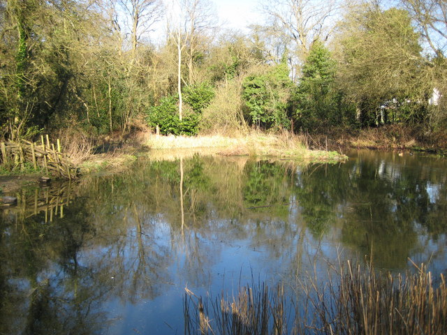
Image: © Nigel Cox Taken: 19 Mar 2008
Thought to have originally been a clay pit for use in the manufacture of bricks, it dates back to at least 1735 as it was recorded on a 1736 map, but not on one produced in 1716. It is on the north side of Chesham Bois Common by North Road, and was restored during 1996/7 by the Chesham Bois Restoration Group. It is fed by surface water and it is probable that its reduction in size compared to its extents shown in older photographs is due to a drop in the general level of the water table caused by generally dwindling amounts of rainfall and the encroachment of trees around its edges taking up the water.
Images are licensed for reuse under creativecommons.org/licenses/by-sa/2.0
Image Location
Latitude
51.682398
Longitude
-0.607041