Boundary Stone, Loiterpin, Forest of Dean
Introduction
The photograph on this page of Boundary Stone, Loiterpin, Forest of Dean by Mr Red as part of the Geograph project.
The Geograph project started in 2005 with the aim of publishing, organising and preserving representative images for every square kilometre of Great Britain, Ireland and the Isle of Man.

There are currently over 7.5m images from over 14,400 individuals and you can help contribute to the project by visiting https://www.geograph.org.uk
Boundary Stone, Loiterpin, Forest of Dean
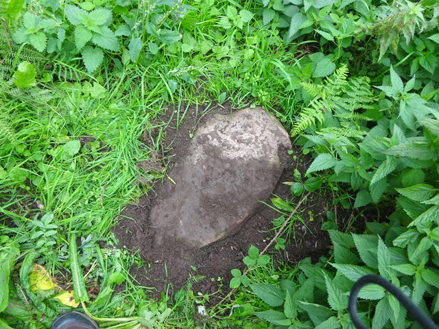
Image: © Mr Red Taken: 4 Oct 2022
Blakeney Hill, on the Eastern side of the road in the verge. Though lain and broken, it was in the exact location (1 m) of that predicted, and it has the same rounded top as many of the similar older boundary stones in the "Forest". Milestone Society National ID: GL_DFAWRE13aem
Images are licensed for reuse under creativecommons.org/licenses/by-sa/2.0
Image Location
Latitude
51.767732
Longitude
-2.484772