Bridleway, High Hoyland
Introduction
The photograph on this page of Bridleway, High Hoyland by Humphrey Bolton as part of the Geograph project.
The Geograph project started in 2005 with the aim of publishing, organising and preserving representative images for every square kilometre of Great Britain, Ireland and the Isle of Man.

There are currently over 7.5m images from over 14,400 individuals and you can help contribute to the project by visiting https://www.geograph.org.uk
Bridleway, High Hoyland
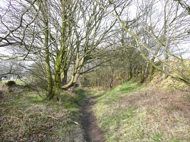
Image: © Humphrey Bolton Taken: 14 Mar 2008
This could be called the 'High Hoyland Bypass' as it loops round the village on the edge of Hoyland Bank Wood. I could just see a quarry face on the right – for future investigation!
Images are licensed for reuse under creativecommons.org/licenses/by-sa/2.0
Image Location
Latitude
53.585007
Longitude
-1.596648