Fields near Flobbets
Introduction
The photograph on this page of Fields near Flobbets by Scott Cormie as part of the Geograph project.
The Geograph project started in 2005 with the aim of publishing, organising and preserving representative images for every square kilometre of Great Britain, Ireland and the Isle of Man.

There are currently over 7.5m images from over 14,400 individuals and you can help contribute to the project by visiting https://www.geograph.org.uk
Fields near Flobbets
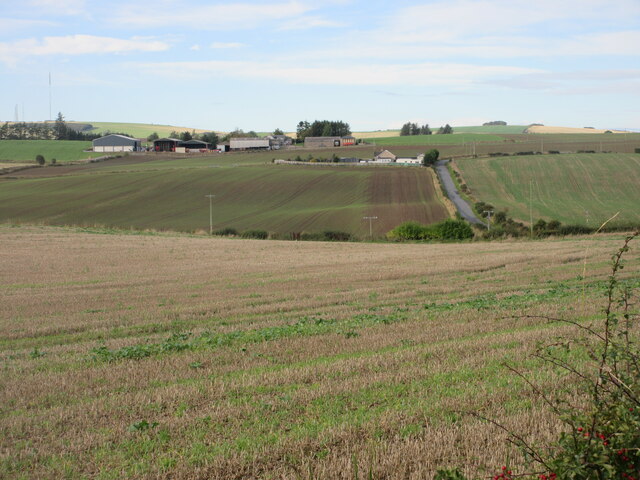
Image: © Scott Cormie Taken: 1 Oct 2022
Looking west over fields near Flobbets, with South Crichie in the distance and the Meldrum Transmitter on the horizon at far left.
Images are licensed for reuse under creativecommons.org/licenses/by-sa/2.0
Image Location
Latitude
57.402848
Longitude
-2.347454