A249 Detling Hill
Introduction
The photograph on this page of A249 Detling Hill by Richard Dorrell as part of the Geograph project.
The Geograph project started in 2005 with the aim of publishing, organising and preserving representative images for every square kilometre of Great Britain, Ireland and the Isle of Man.

There are currently over 7.5m images from over 14,400 individuals and you can help contribute to the project by visiting https://www.geograph.org.uk
A249 Detling Hill
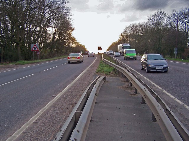
Image: © Richard Dorrell Taken: 17 Mar 2008
The busy A249 drops dramatically down the scarp slope of the north Downs at this point. This is looking west with Maidstone ahead and Sittingbourne behind. Traffic coming up the hill is often slowed to a crawl by heavy vehicles, while traffic going down may have to queue to the roundabout junction with the M20 about a mile further on.
Images are licensed for reuse under creativecommons.org/licenses/by-sa/2.0
Image Location
Latitude
51.298601
Longitude
0.580836