Junction on The Causeway
Introduction
The photograph on this page of Junction on The Causeway by M J Roscoe as part of the Geograph project.
The Geograph project started in 2005 with the aim of publishing, organising and preserving representative images for every square kilometre of Great Britain, Ireland and the Isle of Man.

There are currently over 7.5m images from over 14,400 individuals and you can help contribute to the project by visiting https://www.geograph.org.uk
Junction on The Causeway
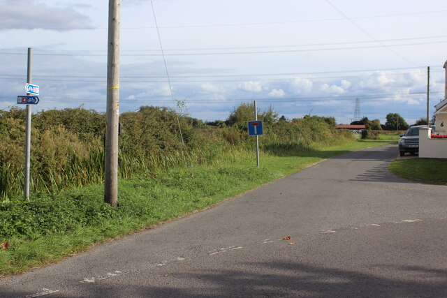
Image: © M J Roscoe Taken: 25 Sep 2022
The minor road straight ahead leads to Pennycloud, the right arm on to Magor Pill Farm. To the left of the grass verge are plants in Chapel Reen. NCR 4 comes from behind the camera and to the right.
Images are licensed for reuse under creativecommons.org/licenses/by-sa/2.0
Image Location
Latitude
51.571662
Longitude
-2.814031