Heddlu Pwllheli (Pwllheli Police Station)
Introduction
The photograph on this page of Heddlu Pwllheli (Pwllheli Police Station) by Bill Harrison as part of the Geograph project.
The Geograph project started in 2005 with the aim of publishing, organising and preserving representative images for every square kilometre of Great Britain, Ireland and the Isle of Man.

There are currently over 7.5m images from over 14,400 individuals and you can help contribute to the project by visiting https://www.geograph.org.uk
Heddlu Pwllheli (Pwllheli Police Station)
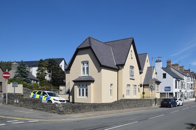
Image: © Bill Harrison Taken: 9 Jul 2022
The 'multiplex' (https://www.sabre-roads.org.uk/wiki/index.php?title=Multiplex ) dual designation A497/A499, the main road through the town, is to the right: https://www.sabre-roads.org.uk/wiki/index.php?title=A497 .
Images are licensed for reuse under creativecommons.org/licenses/by-sa/2.0
Image Location
Latitude
52.888374
Longitude
-4.421039