Cycle path towards Whitkirk
Introduction
The photograph on this page of Cycle path towards Whitkirk by Stephen Craven as part of the Geograph project.
The Geograph project started in 2005 with the aim of publishing, organising and preserving representative images for every square kilometre of Great Britain, Ireland and the Isle of Man.

There are currently over 7.5m images from over 14,400 individuals and you can help contribute to the project by visiting https://www.geograph.org.uk
Cycle path towards Whitkirk
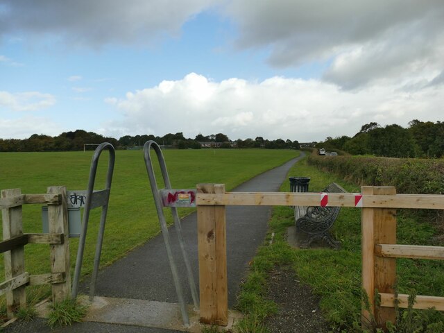
Image: © Stephen Craven Taken: 1 Oct 2022
The path allows cyclists and pedestrians to walk between the edge of Whitkirk and the Temple Newsam estate, away from the busy road.
Images are licensed for reuse under creativecommons.org/licenses/by-sa/2.0
Image Location


Leaflet Map data © OpenStreetMap
Latitude
53.791353
Longitude
-1.454414