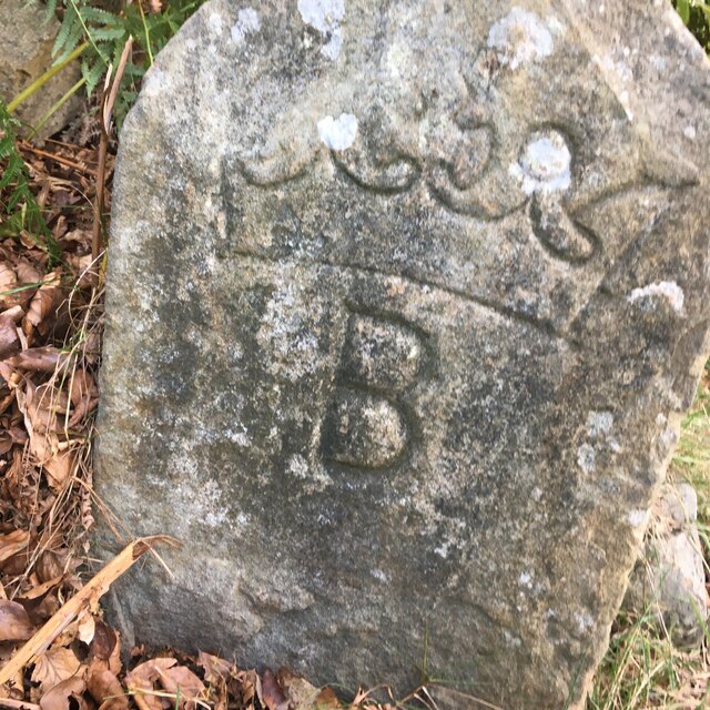
Old Boundary Marker near Sunny View, Pontlottyn
Introduction
The photograph on this page of Old Boundary Marker near Sunny View, Pontlottyn by S Bates as part of the Geograph project.
The Geograph project started in 2005 with the aim of publishing, organising and preserving representative images for every square kilometre of Great Britain, Ireland and the Isle of Man.
There are currently over 7.5m images from over 14,400 individuals and you can help contribute to the project by visiting https://www.geograph.org.uk

Image: © S Bates Taken: 18 Sep 2022
Mine Boundary Marker beside a metal gate on a path up the hillside above Sunny View, Pontlottyn. Rhymney community. The coronet and B represent the Marquess of Bute and similar stones have marked mining rights, see http://www.industrialgwent.co.uk/h21-boundary/index.htm#atoc. Milestone Society National ID: GLA_RHYM01em

