Former railway viaduct at Clydach
Introduction
The photograph on this page of Former railway viaduct at Clydach by Gordon Hatton as part of the Geograph project.
The Geograph project started in 2005 with the aim of publishing, organising and preserving representative images for every square kilometre of Great Britain, Ireland and the Isle of Man.

There are currently over 7.5m images from over 14,400 individuals and you can help contribute to the project by visiting https://www.geograph.org.uk
Former railway viaduct at Clydach
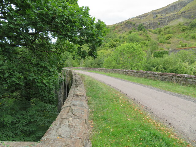
Image: © Gordon Hatton Taken: 19 Sep 2022
Now part of a cycle and walkway, the viaduct spans a deep side valley above the village of Clydach.
Images are licensed for reuse under creativecommons.org/licenses/by-sa/2.0
Image Location
Latitude
51.808093
Longitude
-3.115049