Mayfield Park
Introduction
The photograph on this page of Mayfield Park by Gerald England as part of the Geograph project.
The Geograph project started in 2005 with the aim of publishing, organising and preserving representative images for every square kilometre of Great Britain, Ireland and the Isle of Man.

There are currently over 7.5m images from over 14,400 individuals and you can help contribute to the project by visiting https://www.geograph.org.uk
Mayfield Park
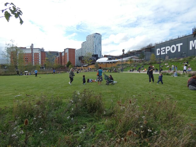
Image: © Gerald England Taken: 24 Sep 2022
This section has a large area of grassland suitable for sunbathing, picnicking or playing games. On the right is the former Mayfield Station, now Depot Mayfield. The highrise buildings in the background are mostly student accommodation.
Images are licensed for reuse under creativecommons.org/licenses/by-sa/2.0
Image Location
Latitude
53.474826
Longitude
-2.225653