Junction of School Road with the A36 at West Wellow
Introduction
The photograph on this page of Junction of School Road with the A36 at West Wellow by Peter Facey as part of the Geograph project.
The Geograph project started in 2005 with the aim of publishing, organising and preserving representative images for every square kilometre of Great Britain, Ireland and the Isle of Man.

There are currently over 7.5m images from over 14,400 individuals and you can help contribute to the project by visiting https://www.geograph.org.uk
Junction of School Road with the A36 at West Wellow
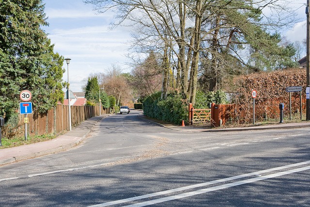
Image: © Peter Facey Taken: 19 Mar 2008
School Road no longer affords access to the primary school, except via a footpath. The road has private houses on either side and a farm at the end.
Images are licensed for reuse under creativecommons.org/licenses/by-sa/2.0
Image Location


Leaflet Map data © OpenStreetMap
Latitude
50.96778
Longitude
-1.58155