Up the hill from Clyro
Introduction
The photograph on this page of Up the hill from Clyro by Gordon Hatton as part of the Geograph project.
The Geograph project started in 2005 with the aim of publishing, organising and preserving representative images for every square kilometre of Great Britain, Ireland and the Isle of Man.

There are currently over 7.5m images from over 14,400 individuals and you can help contribute to the project by visiting https://www.geograph.org.uk
Up the hill from Clyro
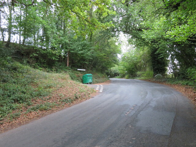
Image: © Gordon Hatton Taken: 22 Sep 2022
A steep hill leads to this junction from where a narrow lane heads towards Great Gwernfythen. This side road is shown in yellow on the 1:5000 map, but in white on the 1:25000, and no, I haven't tried driving along it.
Images are licensed for reuse under creativecommons.org/licenses/by-sa/2.0
Image Location


Leaflet Map data © OpenStreetMap
Latitude
52.089854
Longitude
-3.145561