The Baskerville Arms
Introduction
The photograph on this page of The Baskerville Arms by Gordon Hatton as part of the Geograph project.
The Geograph project started in 2005 with the aim of publishing, organising and preserving representative images for every square kilometre of Great Britain, Ireland and the Isle of Man.

There are currently over 7.5m images from over 14,400 individuals and you can help contribute to the project by visiting https://www.geograph.org.uk
The Baskerville Arms
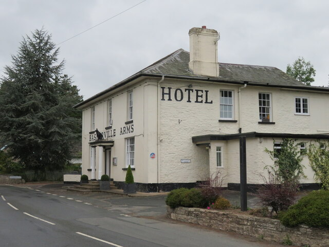
Image: © Gordon Hatton Taken: 22 Sep 2022
Pub/hotel in Clyro. The building stands at the side of the old main road [A438] which now by-passes the village centre.
Images are licensed for reuse under creativecommons.org/licenses/by-sa/2.0
Image Location
Latitude
52.087762
Longitude
-3.147989