Pond and house south of Palmer's Bridge, West Wellow
Introduction
The photograph on this page of Pond and house south of Palmer's Bridge, West Wellow by Peter Facey as part of the Geograph project.
The Geograph project started in 2005 with the aim of publishing, organising and preserving representative images for every square kilometre of Great Britain, Ireland and the Isle of Man.

There are currently over 7.5m images from over 14,400 individuals and you can help contribute to the project by visiting https://www.geograph.org.uk
Pond and house south of Palmer's Bridge, West Wellow
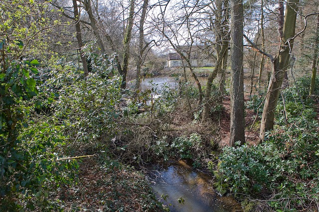
Image: © Peter Facey Taken: 19 Mar 2008
Photographer is standing on the bridge, which carries a tributary of the River Blackwater under the A36. I failed to note the name of this pond.
Images are licensed for reuse under creativecommons.org/licenses/by-sa/2.0
Image Location


Leaflet Map data © OpenStreetMap
Latitude
50.966979
Longitude
-1.584121